Jul 29 - Balancing Rock, Digby Neck, NS
Fog!! Great!! One day to explore the outer reaches of Digby Neck and it's
gotta be foggy! But by the time we got going, things had started to improve.
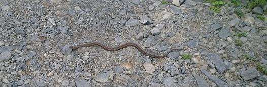
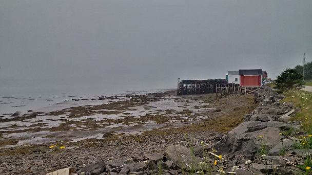
The local inhabitants were warming themselves on the rocks.
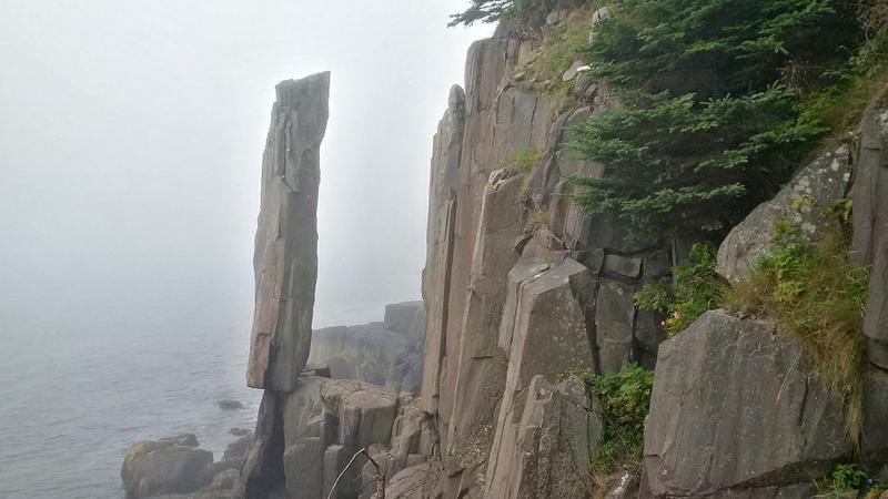
Pretty freakin' impressive. Apparently in certain light, you can see an opening at the bottom of the column so it is not resting solidly on the rock below. But irregardless, it is pretty cool. About 20' high and 4' around, if I remember correctly.
I thought about shooting a video but that seemed like a dumb idea – the rock hasn't moved in years – I didn't think it would fall over or do anything exciting (like a jig) just because I wanted to film it.
Okay, so it was time to head back to Alfie.
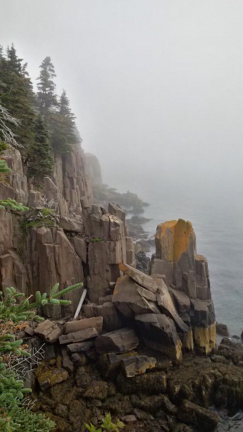
Pretty impressive even in the fog! I stopped to have a look at some of the information boards.
At the coast and almost at the bottom of the steps, I looked to my left.
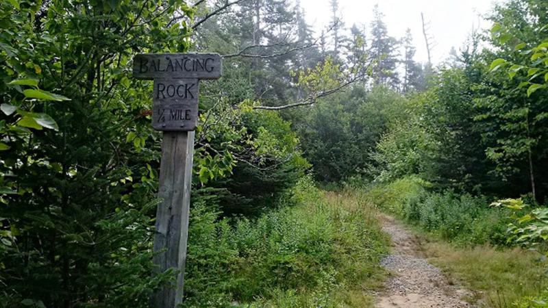
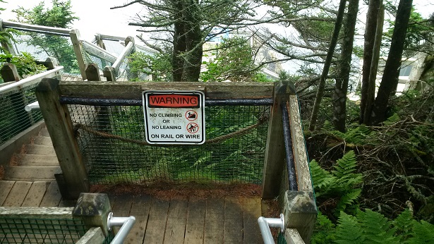
The walk was easy and I got excited when I saw this sign.
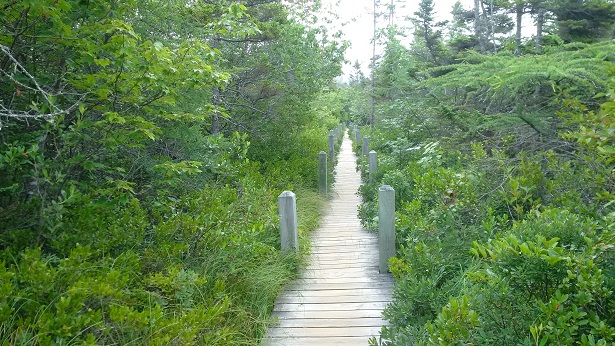
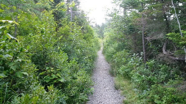
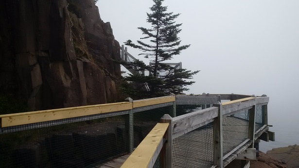
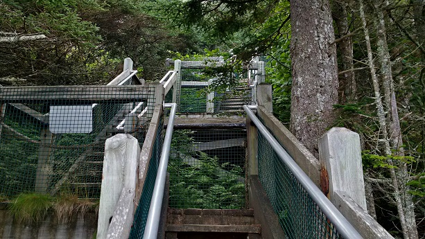
Five minutes later and we are driving through downtown Tiverton heading to Balancing Rock, advertised as one of the "Great wonders of the world." The 1.2 km trail to it is a combination of gravel path, boardwalk, and stairs – 235 steps!
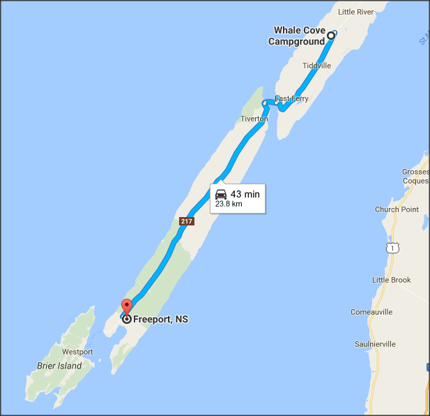
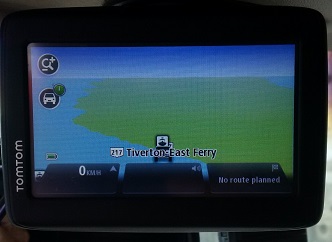
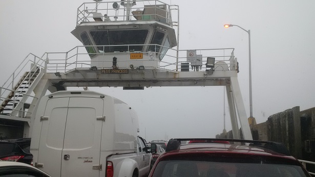
We're off this morning to Long Island, the first of two islands at the end of Digby Neck. A short 7 minute drive and we're on the 10:30 ferry to Tiverton.
And then I saw the Balancing Rock.
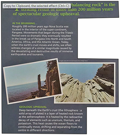
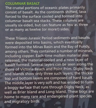
Before I started my climb, I stopped at this information board.
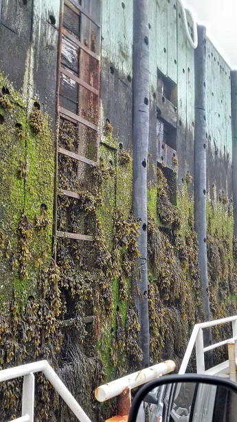
Can you see any?? All I saw was seaweed!
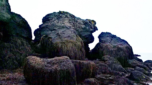
Undeterred, I started walking back towards, hang on, who's that?!
Seems like we've seen history "lessons" like this elsewhere in our travels in the east.
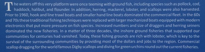
We drove to Freeport at the far end of Long Island and did a quick tour. We stopped at an information board here.
On Groundhog Day in 1976, a lot of this area was destroyed in a freak storm.
We then drove back up the highway a short distance to a cove we had noticed on the way to Freeport – Beautiful Cove. It doesn't look like much, but it's known as "Lovers Lane" because of the majestic sunsets. The shoreline is, as the brochure states, "immersed in quartz, agate, and crystal." I walked down to the water's edge and took a picture.
Aahhhh, my sweetheart, pointing the way!
We drove back to the ferry. The ferry ride is only 5 minutes, but the ferry makes the trip once an hour from either side. We decided to have coffee at the ferry terminal rather than risk an hour's wait for the next ferry.
Hmmmm, I think the tide is still out.
On the ferry, we chatted with Jess Tudor, a resident of Brier Island. He was on his way into Digby with his 4 kids to do some grocery shopping. We had a great conversation and thoroughly enjoyed our brief encounter with a local! We gave Jess our card. Perhaps he'll look us up on the web.
Tomorrow we head out for Yarmouth and surroundings. We'll be at the campground for just one night, then we head to our old neighbourhood on Shore Drive in Conquerall Bank for a few days.
See you in Yarmouth.